Posts
About
Richard Dallaway
Posts
About
Menu
Sun 03 Mar 2024 09:51
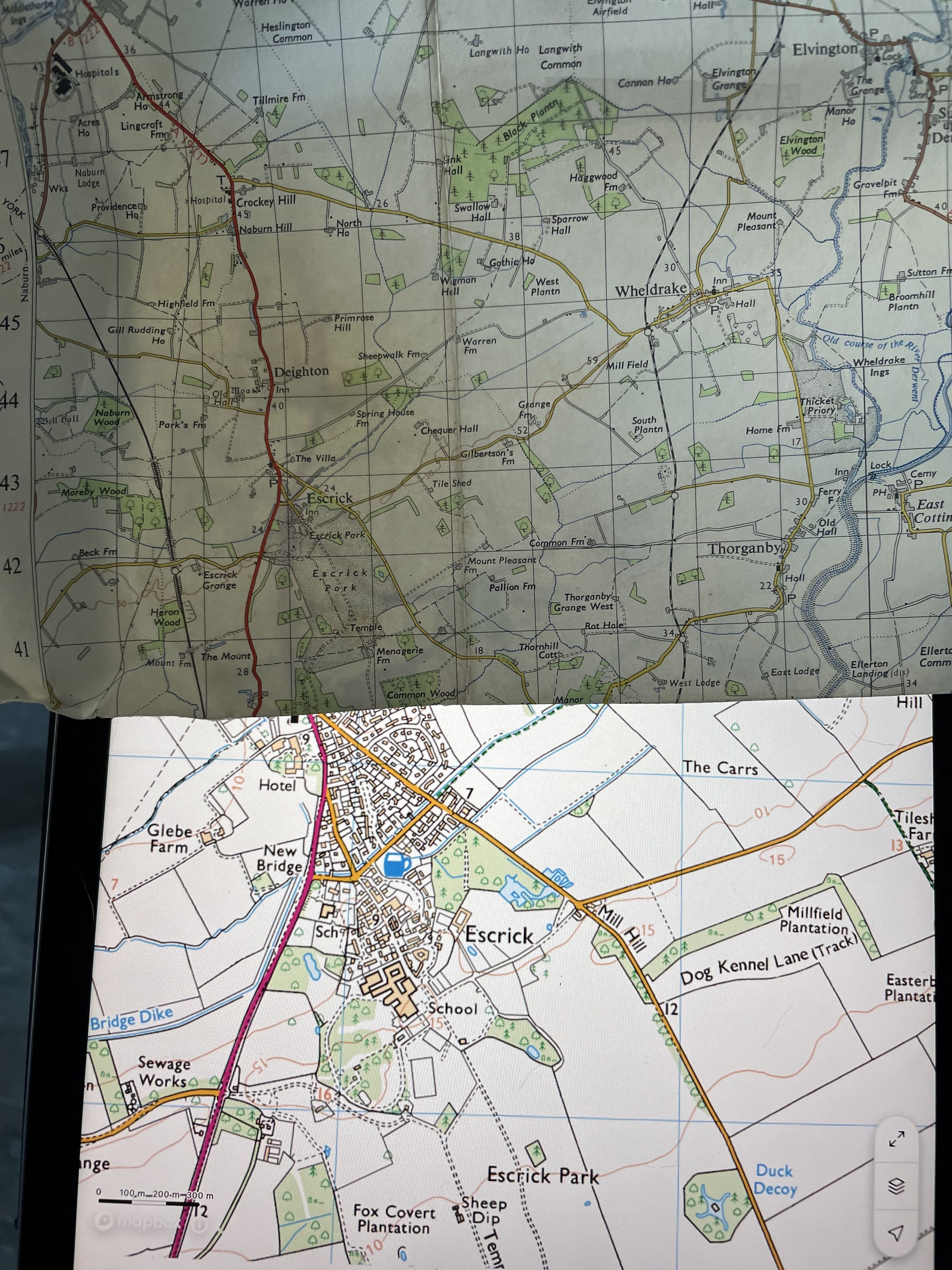
I find it surprisingly fun comparing old (paper) ordinance survey maps to modern digital editions.
https://mastodon.green/@d6y/112031137876067019